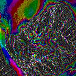
An interferogram of stationary terrain only contains information about topography. To accurately convert this interferogram into a DEM, we must unwrap the interferometric phase, refine the baseline, convert to elevation, and project to ground range. Tandem_ifm automates all these steps.
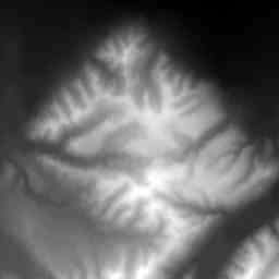
Tandem_ifm takes an interferogram, "seed points", and a baseline estimate as input. Using the estimated baseline, the interferogram is deramped, then multilooked. The phase image is then compensated for known topography (if possible) and/or filtered. The interferometric phase is then unwrapped using escher.
Now, to get an accurate DEM, we must refine the interferometric baseline. To do so, we use points with known locations and elevations ("seed points") and the unwrapped phase image to refine the accuracy of the baseline.
Once the baseline has been determined well, the unwrapped phase image can be converted into a slant-range elevation image (using the elev program). This slant-range elevation image is then converted into ground range.
|
|
into |
|
Back to interferometry main page
Last Updated: September 1, 1998
If you have any questions, please feel free to email olawlor@acm.org